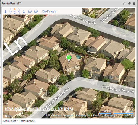
During the valuation process you can view aerial images of the property. Note: This feature is only available if your site and user role has the correct permissions.
By using the aerial imagery during the valuation process, you will be able to visually survey the property and estimate the reconstruction cost more accurately.
Example:
Related Topics:
Was this topic helpful?
Click "No" to send our RCT documentation team an email.
Yes
No